STEP 1: DETECT
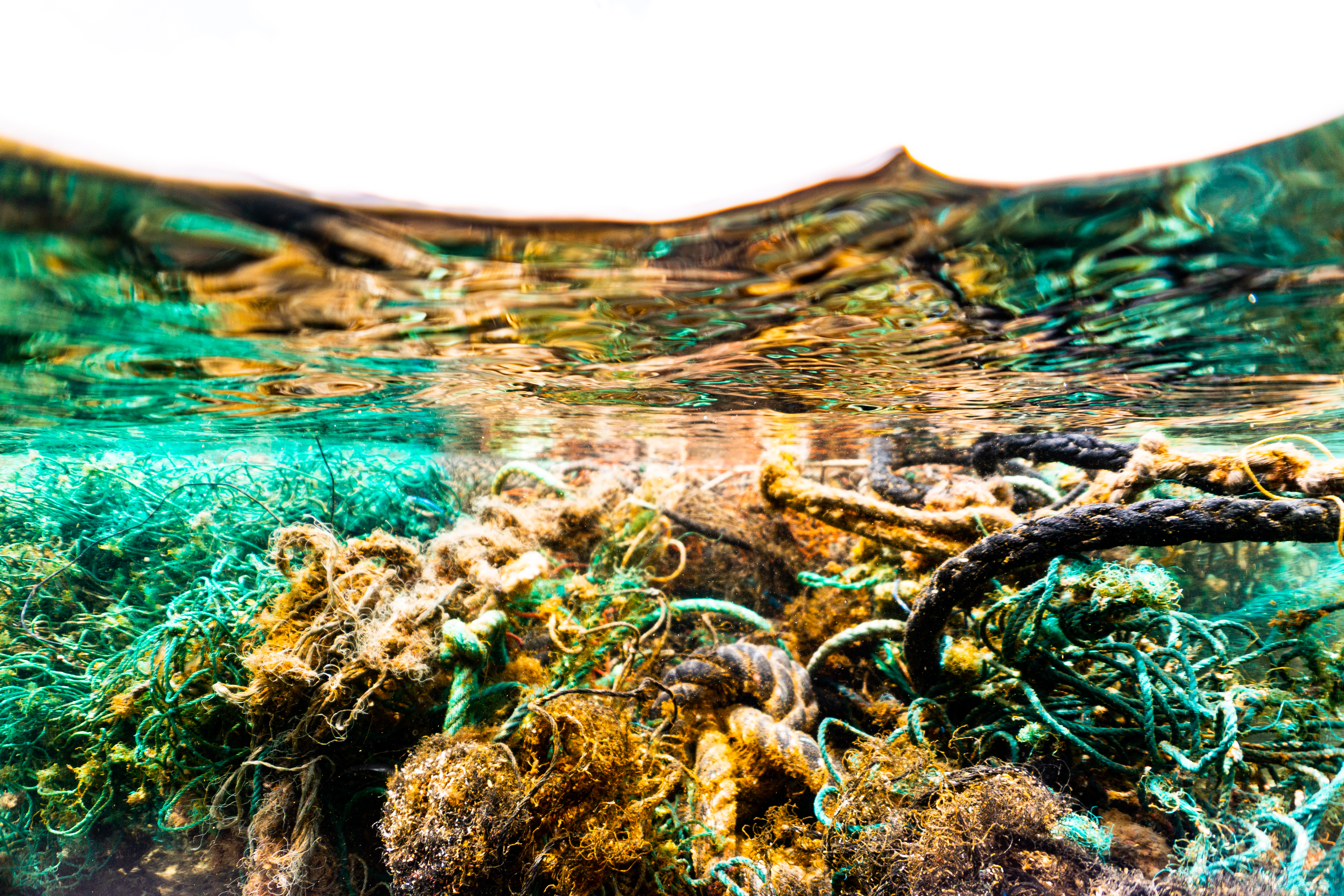
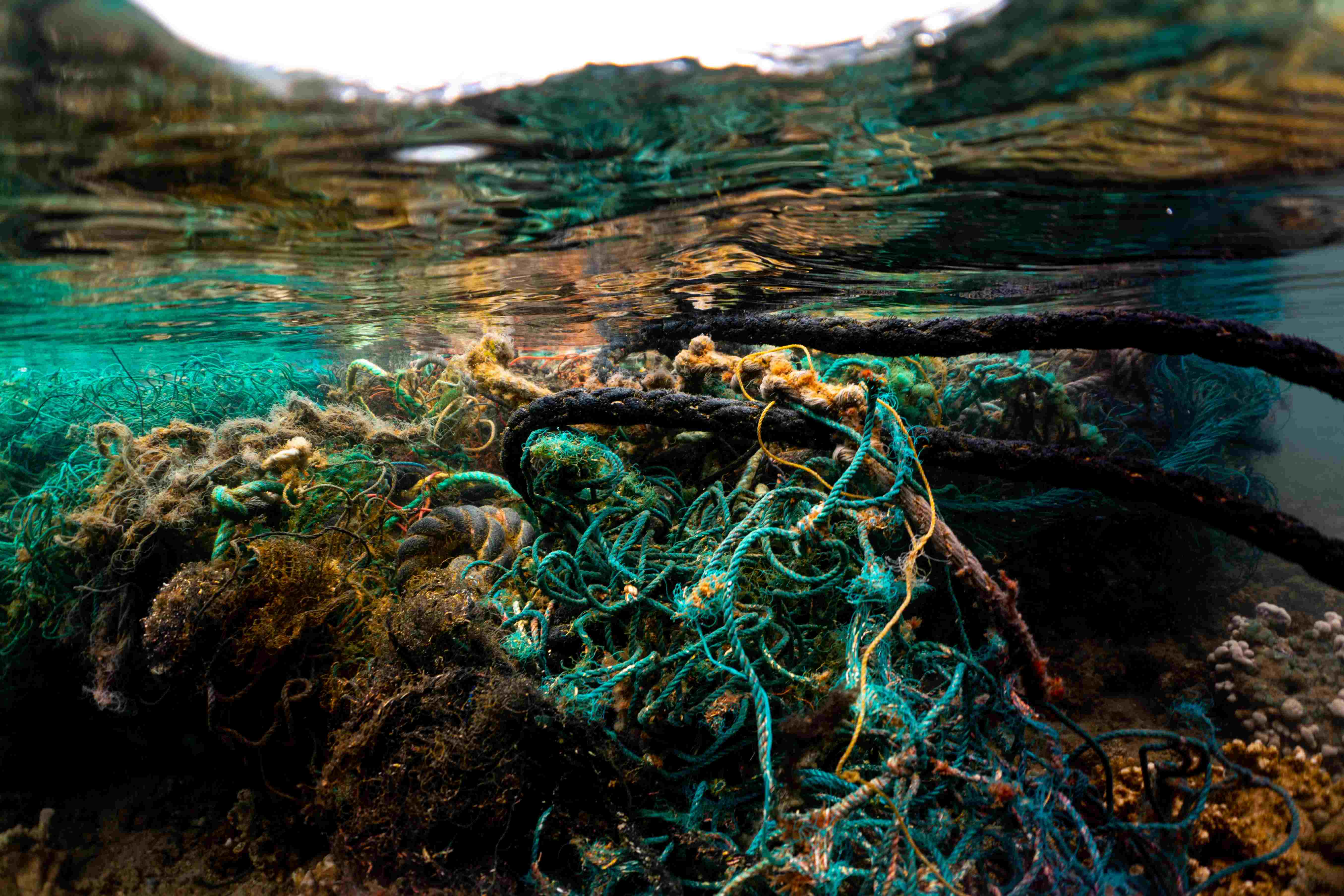
Hawaii’s unique position near the North Pacific Garbage Patch (NPGP) means our shores are directly impacted by drifting marine debris, particularly derelict fishing gear (DFG) that damages coral reefs and endangers local marine life. The Detection phase of the Nets to Infrastructure project leverages advanced technology to anticipate and respond to these debris influxes, enabling proactive, rapid removals.
PUBLIC REPORTING TOOLS
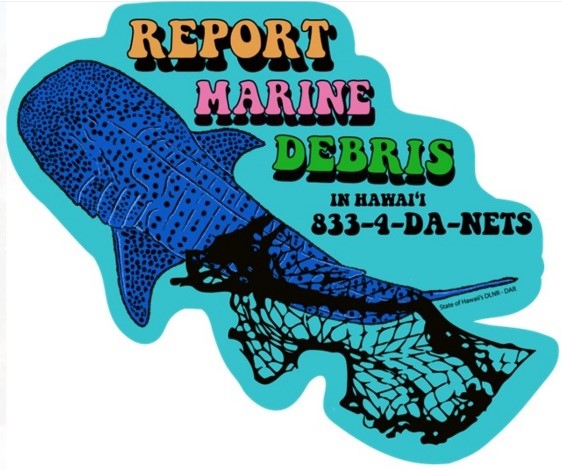
Report marine debris in Hawaii by entering what you see along with a photo on this web form or by calling 833-432-6387.
DEBRIS DRIFT MODEL
Watch the changes in location, shape and size of the NPGP through time. This time-lapse video portrays the modelled location of floating marine debris concentrations from January 2023 to November 2024. To see today’s location of the NPGP visit the open-access model repository.
University of Hawaii International Pacific Research Center
OUR APPROACH
|
The public reports large marine debris to existing reporting systems established by the State of Hawaii Department of Land and Natural Resources. Those reports are dispatched directly to non-profit clean-up organizations on respective islands for rapid removal of large marine debris.
Our team tracks the movement of the NPGP using advanced ocean drift models developed by scientists at the International Pacific Research Center (IPRC). Like weather forecasts, the model displays the daily location of floating marine debris concentrations across the entire North Pacific, including the greatest accumulation in the NPGP.
The movements of the NPGP are dynamic as it “wobbles’ between Hawaii and the US West Coast. When near Hawaii, it brings greater debris loads to the islands. The model also provides a month-long forecast (click here to view today’s forecast) for debris quantities arriving at the different Hawaiian Islands. This predictive system allows us to mobilize and prioritize removal operations based on near-real-time suggestions of debris location and movement. |
IMPACT OF DETECTION
The ability to detect is crucial in mitigating the environmental damage caused by drifting debris.
|
|
Coral Reef Protection: Early detection allows us to intercept large debris before it bulldozes coral reefs or introduces invasive species. |
|
Community and Ecosystem Safety: Anticipating debris influxes helps protect our marine life and maintain the health of Hawaii’s unique ecosystems. |


